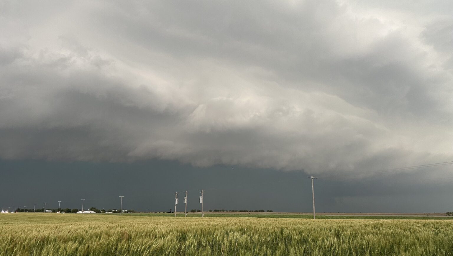
Oklahoma has been experiencing intense weather patterns.
By late Wednesday night, a severe thunderstorm warning from the National Weather Service for southern Oklahoma County, northwestern Cleveland County, and northwestern McClain County escalated into a tornado watch. The extreme weather, characterized by large hail and damaging winds, has resulted in widespread power outages. This comes on the heels of multiple days of wildfires across the state.
Here’s what you need to know.
Which Areas Are Included in the Tornado Watch?
The following counties in Oklahoma are included in the tornado watch:
- Adair
- Cherokee
- Delaware
- Haskell
- Latimer
- McIntosh
- Mayes
- Muskogee
- Okfuskee
- Okmulgee
- Pittsburg
- Sequoyah
- Wagoner
How Long Is the Tornado Watch Issued?
According to meteorologist Travis Meyer, here’s the timeline for the main severe threats:
- Northwest of Tulsa: 7 p.m. — 10 p.m.
- Tulsa Metro & I-44 Corridor: 10 p.m. — midnight
- Southeast of Tulsa: Midnight — 3 a.m.
What Can Oklahomans Expect?
The National Weather Service in Norman, located 20 miles south of downtown Oklahoma City, has warned that a few tornadoes are possible, along with hail the size of tennis balls, wind gusts of up to 75 mph, and evening temperatures reaching the mid-70s.
WATCHING a 3-day stretch of SEVERE WEATHER with beneficial rainfall for the southern Plains this weekend Saturday-Monday! This classic mega trough has a lot of backside support as it crosses the mountain West, which means it will still be amplifying as it ejects across the Great… pic.twitter.com/sVw4PNEFp6
— Reed Timmer, PhD (@ReedTimmerUSA) October 31, 2024
Jon Porter of AccuWeather cautions that conditions are highly favorable for a major tornado outbreak across the southern Plains, stating, “All the ingredients you need are here today.” He warns that thunderstorms could generate winds exceeding 80 mph and produce “supercell” tornadoes—powerful, sustained storms capable of causing large-scale destruction.
“These tornadoes can be particularly intense and long-lasting,” Porter explained. “They have the potential to last for 45 minutes to an hour or more, leaving paths of destruction in their wake.” Residents in the affected areas are advised to take shelter immediately upon receiving alerts and to closely monitor updates as conditions evolve.
Read the full article here


