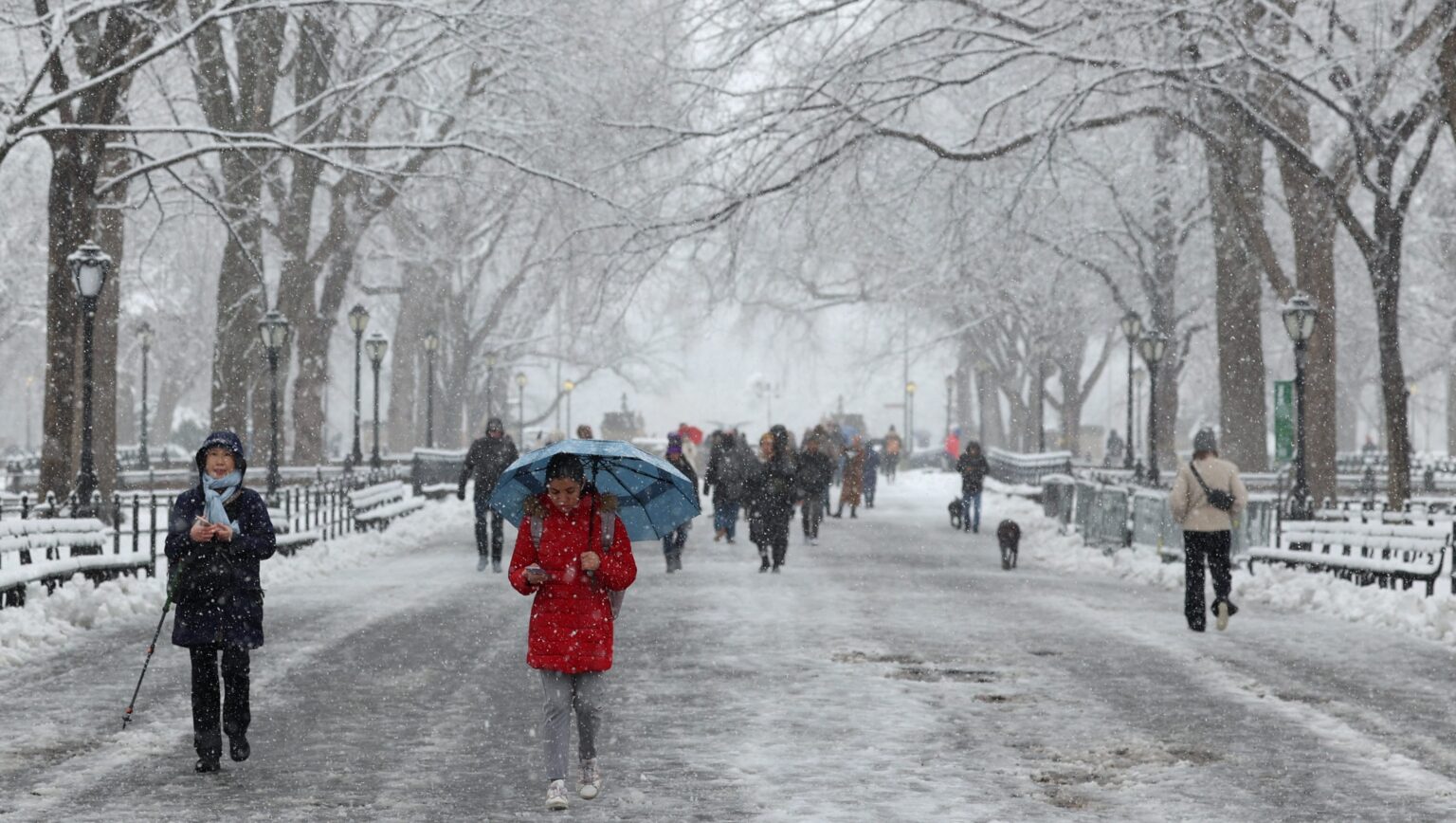
Winter is on the horizon.
Despite early forecasts predicting the return of La Niña by late summer, this natural climate pattern is now expected to develop later in the season, influencing temperatures, precipitation, and even snow across the United States.
Before the start of the 2024 hurricane season on June 1, researchers widely anticipated a strong La Niña to follow a near-record multi-year period of warmer water in the eastern Pacific, known as El Niño. However, following a surge in tropical activity in September and early October, which included two catastrophic hurricane landfalls in Florida, the National Oceanic and Atmospheric Administration (NOAA) now predicts a weak La Niña event. The agency estimates a 60 percent chance of this pattern developing from now through November. Historically, only four such events have formed this late in the year since 1950. formed this late in the year since 1950.
What Is the Winter Forecast?
The entire northern tier of the U.S. is anticipated to be wetter than normal this winter, particularly in the Pacific Northwest, Midwest, and parts of the interior Northeast. This wet weather will be crucial for addressing ongoing dryness and drought in the Midwest.
This marks a complete reversal from last winter’s pattern, which favored a wetter South and a drier North.
Meanwhile, the season is expected to be warmer than normal across much of the southern half of the U.S. and a significant portion of the East. This could result in winter storms in parts of the East being wetter rather than snowier. However, with drier and warmer-than-normal conditions projected across the South, drought conditions may worsen throughout the season.
La Niña is expected to persist from January to March of next year.
What Is the Difference Between La Niña and El Niño?
El Niño and La Niña are two phases of a climate pattern known as the El Niño-Southern Oscillation (ENSO), and they significantly influence weather patterns across the globe.
El Niño Effects: During El Niño, conditions often lead to wetter and snowier weather in places like Amarillo. This can mean increased precipitation and cooler maximum temperatures during the winter months. For instance, regions that typically experience dry winters might see a shift, with more snow or rain resulting in improved moisture levels in the soil.
La Niña Effects: In contrast, La Niña usually brings drier and warmer temperatures. This phase can lead to extended dry spells, making winter feel milder overall. However, it can also bring occasional extreme cold snaps that catch people off guard. Think of it as a rollercoaster: while the overall ride might be warmer, there can still be sudden drops into colder temperatures.
Frequency of Occurrence: These events tend to happen every two to seven years, but El Niño occurs more frequently than La Niña.
Read the full article here


